
Murfreesboro Neighbors by Block Records
Public records can describe a block in layers. Rutherford County GIS provides parcel shapes and map context. The assessor offers a tax-card view for each public parcel. Recorded instruments can identify a plat, easement, or ownership-chain reference. City layers add jurisdiction or planning context. Each source should be read for its narrow function, because the map does not certify title and an owner display is not a list of people who live there.
| Source | What it shows about a block | Access |
|---|---|---|
| Rutherford County GIS | Target and touching parcel polygons, address context, map layers | Public viewer |
| Property Assessor | Public parcel, situs, owner display, mailing and tax-card details | Public portal |
| Register of Deeds | Recorded instruments, plats, easement and deed references | Office and archival fallback |
| City and county GIS layers | City limits, zoning, historic, flood, school and plat context | Public mapping layers |
| Planning and archive materials | Annexation, subdivision, public-hearing and date context | Custodian or archive request |
A parcel that touches a target on the map is an adjacent parcel. It may not be a residential neighbor. Save the parcel ID and the map date before comparing any displayed names.
Map a Murfreesboro Neighboring Parcel
The local adjacent-parcel method is map first. The official viewer did not confirm an automated neighbor or buffer feature, so use the address or parcel search, select the target polygon, then inspect each touching polygon individually. This keeps a block lookup tied to actual parcel geometry instead of an uncertain name match.
- Open the Rutherford County GIS viewer and search or pan to the target address or parcel.
- Select the address point or parcel polygon and record the parcel ID, situs, visible layer date, and any linked public information.
- Zoom out one or two levels, select each touching polygon, and distinguish a residential tract from a road, drainage area, common area, or utility parcel.
- Use each adjacent parcel ID in the Assessor system for its public card, then compare an owner display with a recorded deed only when the question needs ownership context.
For a full named-road record trail rather than an immediate block, use the Murfreesboro by-street directory. That workflow follows a street address through parcel and deed records without turning the block view into a private roster.
Separate Murfreesboro Neighbor Owners
An Assessor card can show an owner, situs address, mailing address, parcel or map number, and tax-oriented details. The mailing address may be outside Rutherford County, while the situs is the physical parcel. Neither field proves who occupies a home at the moment. A unit can also sit under a parent parcel, and a trust or company can appear as the owner without identifying a resident.
Record only what the public source displays and the question actually needs. An adjacent owner name can lead to a deed or tax-card check, but it cannot establish a household relationship. A public voter response is also limited to an exact person search and requires multiple identifiers. It has no street-search interface, so it is not a way to enumerate a block or resolve an uncertain parcel connection.
County GIS adds the address-point, roads, parcels, and city-limit layers. City GIS offers planning and map-gallery context such as zoning, historic areas, schools, flood, fire, and plats. Map data are not legally binding. Ask the appropriate GIS, Planning, Assessor, or Register of Deeds office when a boundary or property relationship needs an official answer.
- Parcel ID
- The unique map or tax key used to connect a parcel card and GIS feature. It is usually more stable than a street spelling.
- Situs address
- The physical location associated with a parcel for assessment or mapping.
- Owner mailing address
- The correspondence address on a tax record. It can differ from the situs.
- Plat
- A recorded map that depicts lots, streets, or subdivision details. It can explain a block’s layout.
Murfreesboro Neighbors City-Limit Context
County and City GIS expose different context layers around a block. Rutherford County layers can show parcels, roads, address points, city limits, flood, zoning, historic, school, fire, and plat information. City mapping adds municipal planning and map-gallery context. These layers help explain why a Murfreesboro postal line can occur outside the municipal limit, or why county tax records and city permit material both relate to the same area.
Use the layers to orient the block, not to certify a boundary or ownership. For a parcel at a city limit, save the layer name and map date, then ask GIS or Planning for an official interpretation when the decision depends on the exact line. A city-limit display does not identify residents or prove that each adjacent polygon is a home.
Read Murfreesboro Neighbor Block Deeds
The Rutherford County Register of Deeds is the custodian for recorded instruments. Start with the current parcel card, then preserve the deed’s instrument reference, legal description, lot or block, and date. Search the grantor or grantee only as part of the recorded chain, and compare the legal description when the street number or subdivision name changes.
The Register’s official page supplies recording resources, title-search warnings, and the MyLandAlert property-fraud alert link. It does not publish a verified start year for the online index. When the public path stops, ask the Register or Archives which deed books or microfilm series covers the needed date. A recorded deed is an ownership clue, not a complete title opinion and not a statement that a named owner lives at the property.
The Register of Deeds information page is the source for the local recording workflow and monitoring link.
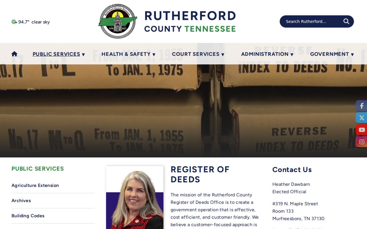
Use the office page to locate the right custodian after the map and assessor card identify a parcel. It should not be read as a complete searchable grantor-grantee interface because the research did not locate one.
Murfreesboro Neighborhood Contact Leads
An official Murfreesboro neighborhood-association umbrella directory or published member roster was not located. That is an important limit. A private association may not publish a roster, and a public meeting attendance list is not the same as membership. Use official planning, community-development, GIS, and public-notice sources to ask whether a civic-group link exists for the block.
| Community question | Best local lead | Limit to preserve |
|---|---|---|
| Does a civic group have an official contact? | Murfreesboro departments and planning contacts | No official umbrella directory was located |
| What subdivision or city context applies? | County or City GIS layers and plat records | Layers provide context, not household membership |
| Did the block change over time? | City Archive Center and planning materials | Search by address, date, or subdivision and confirm scope |
| Is there historical community material? | Rutherford County Archives or HRC | Collection lead only, not a current roster |
The Archives and Historical Research Center may hold dated church, fraternal, veterans, or local-organization publications. Treat a result as a historical collection lead and preserve the title, year, and page.
Murfreesboro Neighbors Association Source Gap
No official city source located in the research sweep published a Murfreesboro neighborhood-association umbrella directory, current association roster, congregation roster, or block-watch list. Do not substitute a compiled directory for that missing official source. A private group may choose not to publish membership, and a public agenda or notice may identify an event without documenting the group’s full membership.
For a legitimate community-contact question, start with City Planning or Community Development, then ask for an official association or civic-group link for the named subdivision or block. Planning documents, annexation records, plats, and public-hearing materials can supply geographic history. The Archives and Historical Research Center can help identify dated local-organization publications without converting them into a current-neighbor list.
Murfreesboro Neighbor Sources Compared
Official parcels and compiled neighbor tools answer different questions. An official record can be slow and incomplete, but it provides a custodian, a record type, and a date. A compiled service may combine filings, address histories, marketing material, and self-reported data with unclear update timing. Neither approach should be used to infer a private household composition.
| Source type | Strength | Important limit |
|---|---|---|
| GIS and Assessor records | Traceable parcel and tax-record context | Owner display is not current occupancy and maps are not certified |
| Recorded deeds and plats | Instrument and legal-description context | Recorded chain can be incomplete online and is not a title opinion |
| Compiled neighbor category | May assemble varied data sources | Accuracy, timing, duplicate names, coverage, and use terms vary |
Tennessee’s statewide voter lookup is also not a block-browsing tool. It requires County, First Name, Last Name, Birth Month, and Birth Year for a single response. A lawful public-file request, if available, should go to the Rutherford County Election Commission with the field, date, redaction, and fee questions stated precisely.
Note: Preserve a source date and parcel ID with each block observation so a later map or tax-card change can be understood.
Murfreesboro Neighbors Privacy Limits
Public does not mean unrestricted. Tennessee voter records exclude Social Security numbers, driver-license numbers, and Department of Safety identification, while other voter data can have record-specific limits. Courts omit sealed and juvenile matters. Utility and nonpublic delivery information are outside a parcel-based block search. Tennessee Safe at Home can provide qualifying participants a substitute government address, subject to its rules and exceptions.
Use the actual custodian for correction or access questions. Tennessee Public Records Act requests belong with the office that holds the record, and Rutherford County’s general policy excludes the Assessor, Register of Deeds, County Clerk, and specified court clerks. A result that seems wrong should be reported with its record identifier and supporting correction evidence.
Lawful use. Block research is for personal, lawful awareness and civic context. Do not use public records to stalk, harass, intimidate, threaten, or expose a protected address.